The Via Alpina red trail through Slovenia
This July my girlfriend and I hiked the Slovenian part of the Red Trail of the Via Alpina, from the edge of the Julian Alps to Trieste, and I’d like to share some observations and tips that we might have found useful before our trip.
Getting there
As we traveled with complete camping gear and wanted to stay in our tent, we avoided the high alpine parts of the trail and started just where the trail came down from the Alps and entered the Karst. A great way to get there is to take the night train from Zurich or Munich towards Ljubljana, get off at Jesenice, have breakfast, take the local train to Podbrdo and you can start your tour at 9:15am. From there you can reach the trail at Pedrovo Brdo within 1½h.
Finding the way
We did not use any paper maps, and instead relied on the OpenStreetMap data, which is very good, as well as the official(?) GPX tracks on Komoot, which are linked from the official route descriptions. We used OsmAnd.
In general, trails are generally very well marked (red circle with white center, and frequent signs), but the signs rarely tell you which way the Via Alpina goes, so the GPS was needed.
Sometimes the OpenStreetMap trail and the Komoot trail disagreed on short segments. We sometimes followed one and other times the other.
Variants
We diverged from the trail in a few places:
We did not care too much about the horses in Lipica and at least on the map it looked like a longish boringish and sun-exposed detour, so we cut the loop and hiked from Prelože pri Lokvi up onto the peak of the Veliko Gradišče (which unfortunately is too overgrown to provide a good view).
When we finally reached the top of Mali Kras and had a view across the bay of Trieste, it seemed silly to walk to down to Dolina, and instead we followed the ridge through Socerb, essentially the Alpe Adria Trail.
Not really a variant, but after arriving in Muggia, if one has to go to Trieste, the ferry is a probably nicer way to finish a trek than the bus.
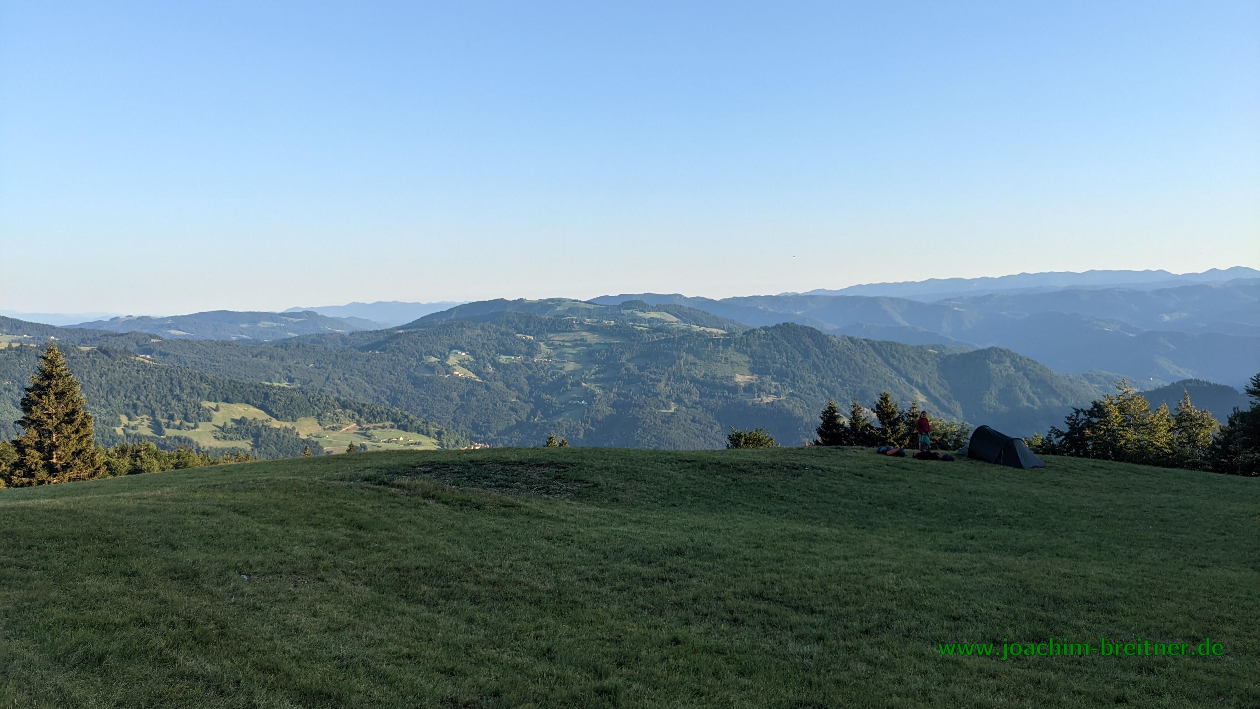
Pitching a tent
We used our tent almost every night, only in Idrija we got a room (and a shower…). It was not trivial to find good camp spots, because most of the trail is on hills with slopes, and the flat spots tend to have housed built on them, but certainly possible. Sometimes we hid in the forest, other times we found nice small and freshly mowed meadows within the forest.
Water
Since this is Karst land, there is very little in terms of streams or lakes along the way, which is a pity.
The Idrijca river right south of Idrija was very tempting to take a plunge. Unfortunately we passed there early in the day and we wanted to cover some ground first, so we refrained.
As for drinking water, we used the taps at the bathrooms of the various touristic sites, a few (but rare) public fountains, and finally resorted to just ringing random doorbells and asking for water, which always worked.
Paths
A few stages lead you through very pleasant narrow forest paths with a sight, but not all. On some days you find yourself plodding along wide graveled or even paved forest roads, though.
Landscape and sights
The view from Nanos is amazing and, with this high peak jutting out over a wide plain, rather unique. It may seem odd that the trail goes up and down that mountain on the same day when it could go around, but it is certainly worth it.
The Karst is mostly a cultivated landscape, with lots of forestry. It is very hilly and green, which is pretty, but some might miss some craggedness. It’s not the high alps, after all, but at least they are in sight half the time.
But the upside is that there are few sights along the way that are worth visiting, in particular the the Franja Partisan Hospital hidden in a very narrow gorge, the Predjama Castle and the Škocjan Caves
Have something to say? You can post a comment by sending an e-Mail to me at <mail@joachim-breitner.de>, and I will include it here.